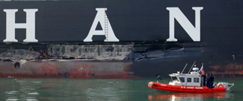
Shipwrecks
Historically, the Farallon Islands and the mainland coast north of the Golden Gate have presented hazardous navigational obstacles to shipping. Today we are reminded of past shipwrecks through geographic place names that still exist today. Such places as Caspars Reef, Windermer Point, Franconia Bay, Noonday Rock, Tennessee Cove, Duxbury Reef, and to the south of the Golden Gate Colorado Reef, Pigeon Point, and Franklin Point are all named for shipwrecks. Year-round fog and dangerous winds and storms often drove ships onto rocks and beaches to be pounded by the Pacific swells, while others foundered in collisions with other vessels or were overcome when the sea breached their hulls. Fierce currents have always swept in and out of the entrance to the Golden Gate. Ships were most vulnerable when trying to approach San Francisco or when trading along the coast seeking the shallow anchorages at Bodega, Tomales, Drake's Bay and Bolinas Bay. Until the 20th century, existing charts were incomplete and sometimes misleading. Lighthouses, buoys and other navigational aids were nonexistent until the 1850s.
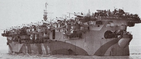
Over 400 reported ship and aircraft wrecks may exist in the Greater Farallones sanctuary. The earliest known shipwreck in the sanctuary is a Spanish Manila galleon, San Agustin that went ashore in a gale while anchored in Drake's Bay in 1595. Several archaeological surveys have yet to provide conclusive evidence of the ship's remains, although there is archaeological evidence of the ship’s cargo found ashore. Another loss, the Ayacucho, was a brigantine that was engaged in the coastal trade that was described by Richard Henry Dana in his book, Two Years Before the Mast. Reportedly wrecked within Drake's Bay in 1841, it sank with a cargo of silks, brandy and other manufactured items. Remnants of fishing stations, wharves and makeshift landings may also exist within the sanctuary. While little remains of the coastal lumber chutes that were built on the face of rock ledges and known as doghole ports, moorings and wrecked vessels remains may still exist. However, more substantial iron and steel-hulled built vessels exist close to shore as battered wrecks, while more intact wrecks lie in deeper waters in the sanctuary.
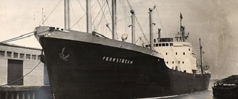
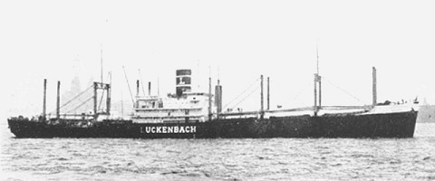
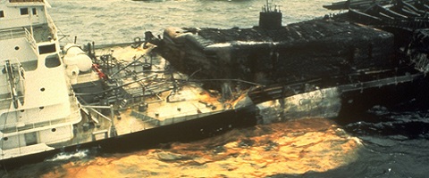
In 2013, NOAA completed a comprehensive Risk Assessment for Potentially Polluting Wrecks in U.S. Waters (PDF, 9Mb). That report described the wrecks of the Jacob Luckenbach, Fernstream and Puerto Rican as the highest risk for future spills in sanctuary waters. Subsequent underwater surveys have indicated that any oil left on the Fernstream is likely buried in heavy sediments. (Reports available below.)
The Sanctuary Office's Maritime Heritage Program is completing an inventory of the ship and aircraft casualties in the Greater Farallones sanctuary. As we investigate these more carefully, information will be added to this webpage. To learn more about recent shipwreck discoveries, click on the links below. The dates indicate when the casualties occurred.
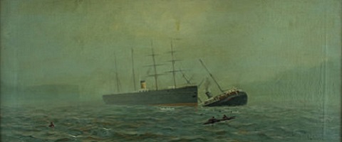
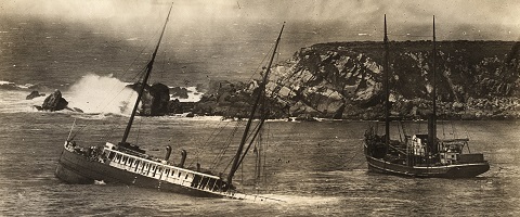
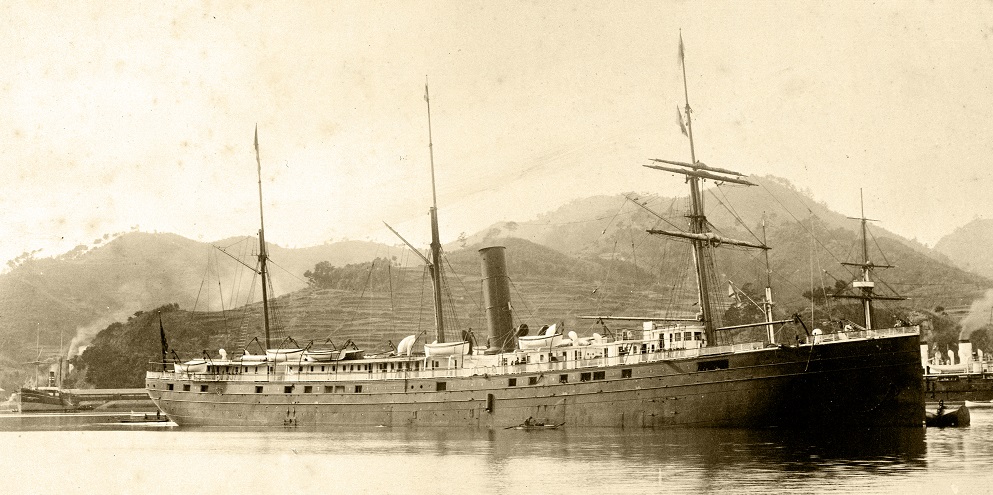
 Ituna - March 13, 1920
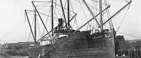
 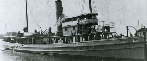 USS Conestoga - March 25, 1921
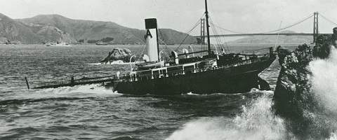
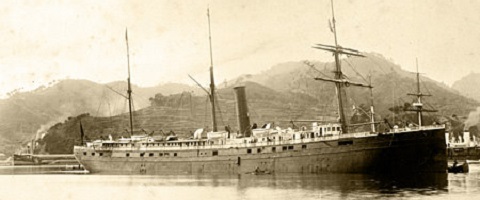
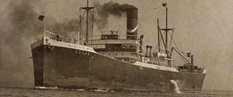
 SS Dorothy
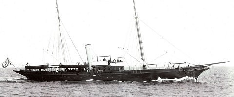
Wintermote - September 20, 1938
SS Dorothy
Wintermote - September 20, 1938